
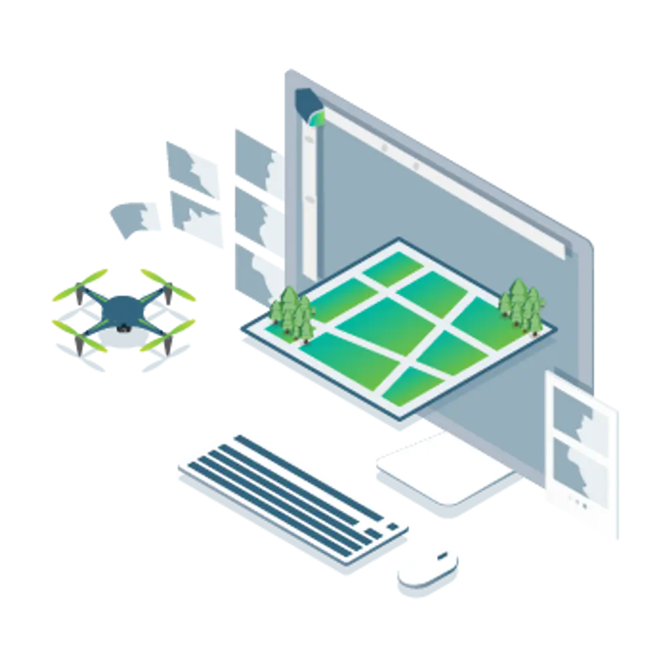


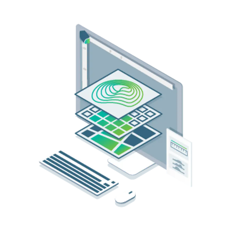


Precise mapping of agricultural areas using data from drones and other unmanned aerial vehicles (UAVs)
The only digital agricultural software focused on reducing processing time while maintaining the highest standards and accuracy of measurements supported by years of scientific research.
Field performance
Quickly create maps (without the need for an internet connection) to make decisions and actions in even less time without leaving the workplace.
Reliability
Always get maps of your fields and crops at any critical time, regardless of satellite availability and cloudiness.
Certain results
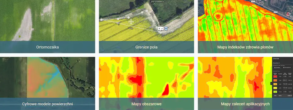
Eliminate guesswork by analyzing crop health maps and measuring anomalies with calibrated full-resolution multispectral or RGB images.
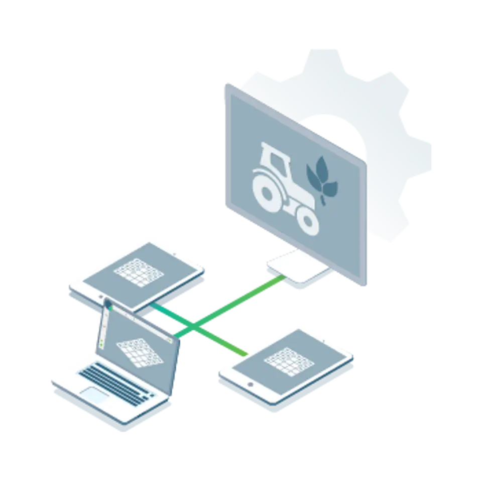
Synchronization
Connect your data to platforms like the John Deere Operations Center, synchronize and access data in the office and in the field to improve collaboration.
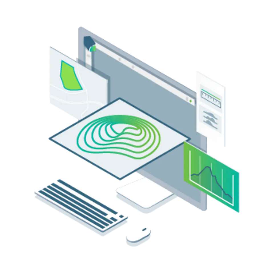
Use Pix4Dfields to map fertilization and maximize yields
Create accurate crop maps, generate insights, and analyze field data in real time to increase crop yield.
Observe, analyze and visualize changes in crops throughout the year.
Real-time mapping
Process photos with Pix4Dfields' instant processing engine and get results in minutes in the office and in the field without the need for the Internet.
Generate map indexes
Use a predefined list of agricultural indexes or enter your own index formula to better understand the state of your plants.
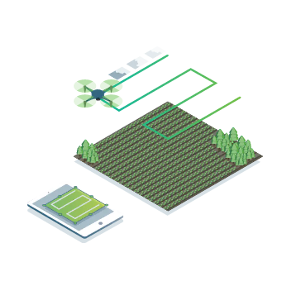
Create a zone and assign recommendations
You will use the information contained in the maps of vegetation indexes to determine individual recommendations regarding the use of protective preparations, irrigation or fertilization.
Compare
Combine different layers of information and compare crop development over time. You can view the information on a split or double screen.
Dimension and comment
Annotate and measure areas of the farm that require special attention.
Calculate statistics
Calculation of mean and standard deviation for numerical surface models (DSM), indicator layers, as well as for area annotations.
Export report in PDF format
Share your maps with all project partners and team for seamless collaboration with Pix4Dfields PDF report.
Use aerial photos to see what you can't see from the ground
Import photos from any drone or other unmanned aerial vehicle, captured with standard RGB cameras or selected multispectral cameras.
")
Create and analyze crop maps in real time to streamline the agricultural workflow
Easily scan your farm and generate the right output for your needs
Perpetual floating license (1 device)
It allows you to install the program on any number of computers and run it at any time on as many systems as indicated by the number of licenses purchased. One computer machine will be designated as a "license server"; the license server tool installed on it will manage the distribution of licenses on the network of computers on which the program is installed.
")