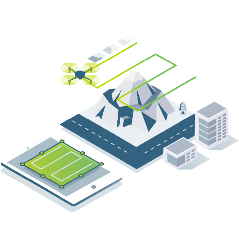


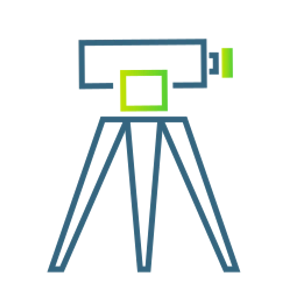


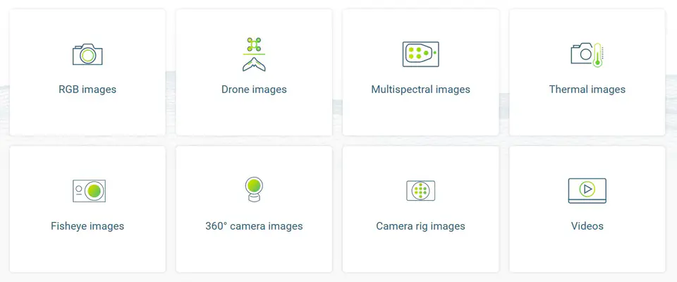


Capture
Capture RGB, thermal or multispectral images with any camera.
If you're using a drone, automate your flight and image data transfer with our free Pix4Dcapture app.
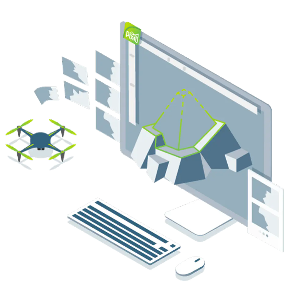
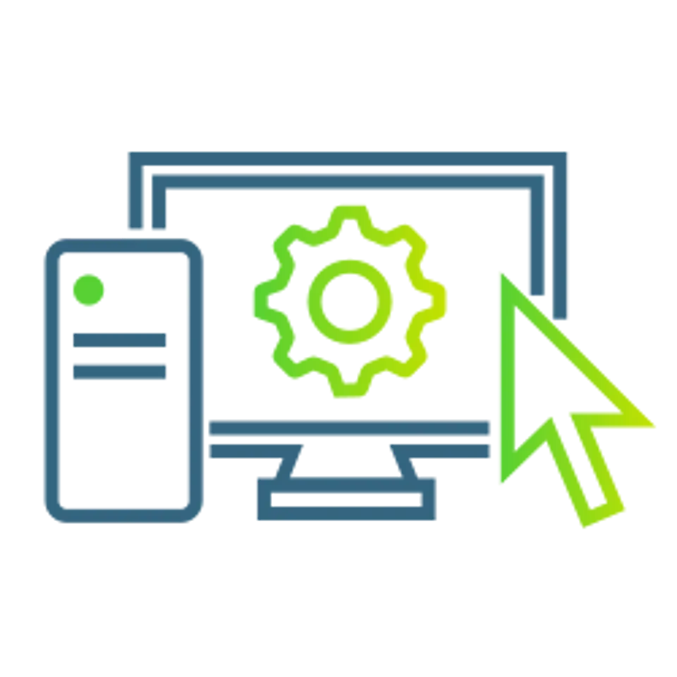
Digitisation
Pix4Dmapper photogrammetric algorithms transform your ground or aerial photos into digital maps and 3D models.
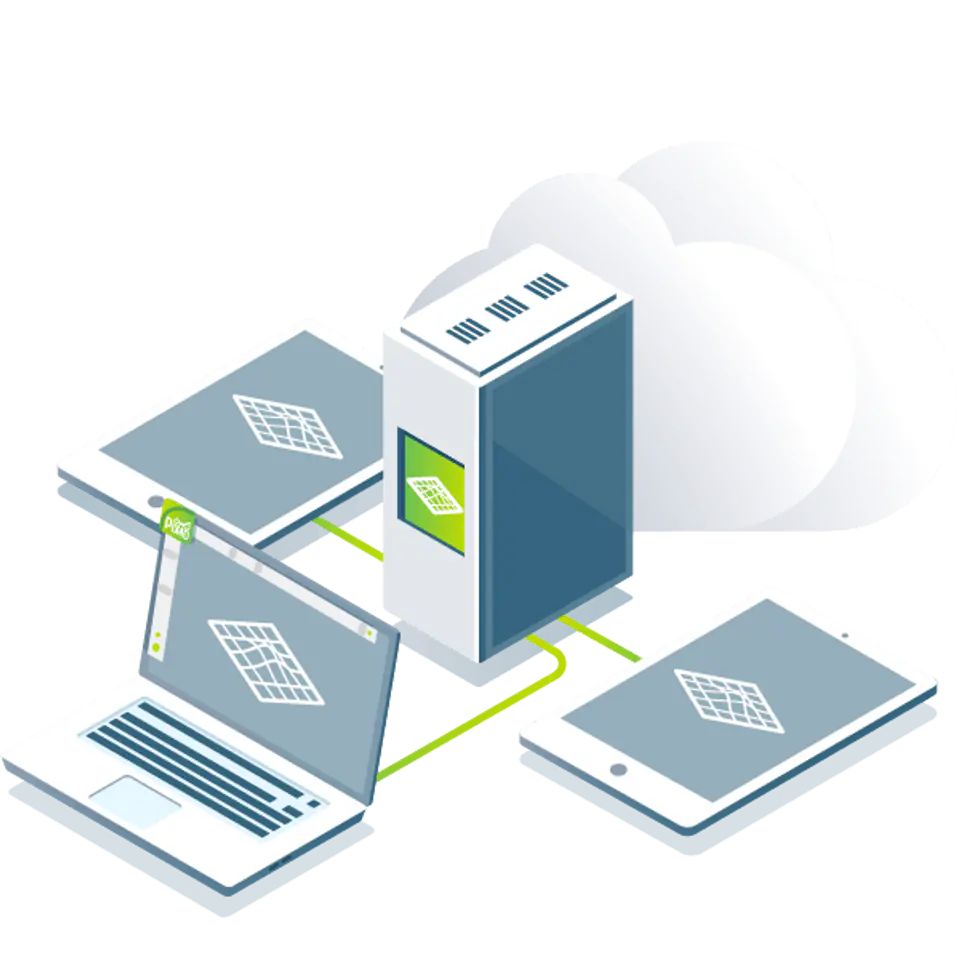
Seamlessly process your projects on your desktop with our photogrammetry software or connect to Pix4Dcloud for online processing.
")
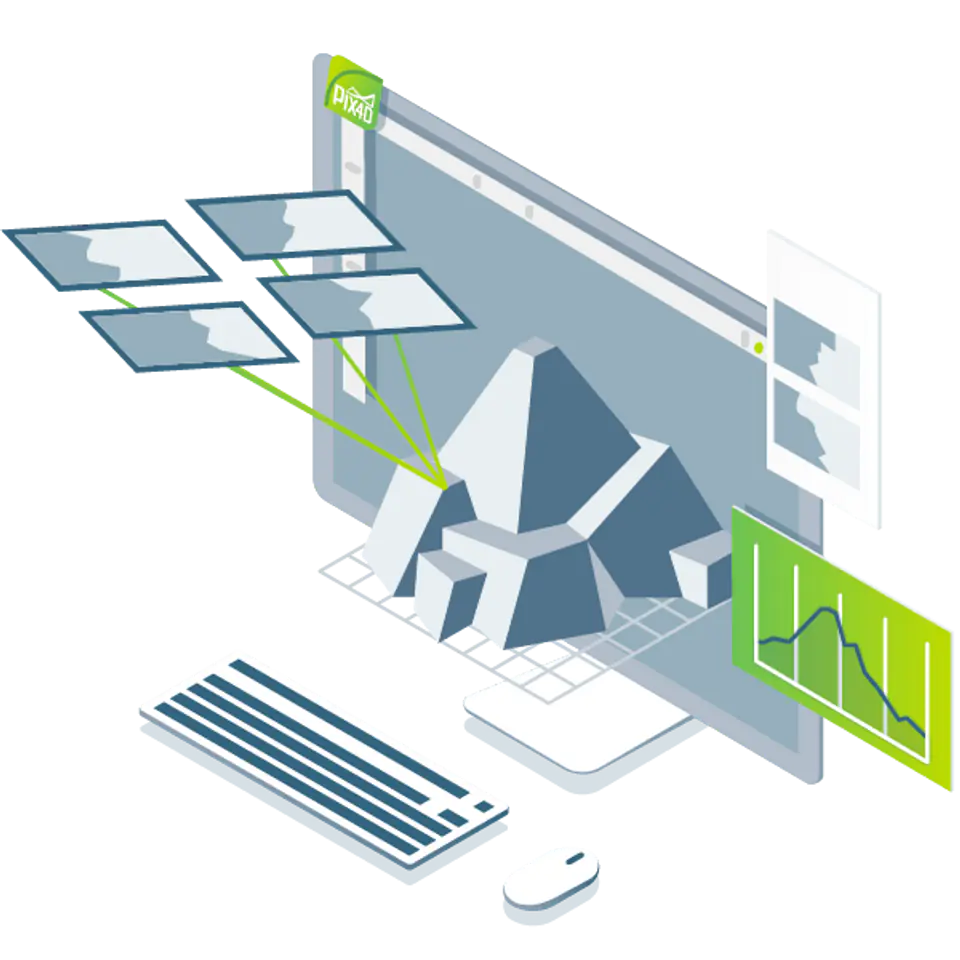
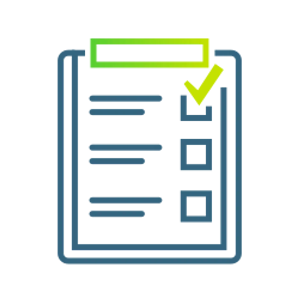
Control
Harness the power of photogrammetry in rayCloud to evaluate, control and improve the quality of your projects.
Use the quality report to see the preview of the generated results, calibration details, and many other design quality indicators.
")
Measurements and tests
Precisely measure distances, surfaces and volumes.
")
Collaborate and share data
Improve communication across projects and teamwork.
Selectively and securely share design data and insights with your team, customers, and vendors using standard file formats.
Photogrammetric solution for applications in various industries
Advanced data processing for precise results.
")
| noTitle1 | Uzyskaj wyniki z dokładnością poniżej centymetra dzięki analizie fotogrametrycznej1-2 pikseli GSD w osiach X, Y1-3 pikseli GSD w osi Z |
|---|---|
| Pełna kontrola nad projektemZdefiniuj obszar zainteresowania, wybierz opcje przetwarzania, dodaj punkty kontroli terenu lub edytuj chmury punktów, modele powierzchniowe, siatki i ortomozaikę. | |
| Twój sposób pracy, Twój wybórUżyj domyślnych szablonów do automatycznego przetwarzania projektów lub stwórz własne z niestandardowymi ustawieniami, aby uzyskać pełną kontrolę nad danymi i jakością. |
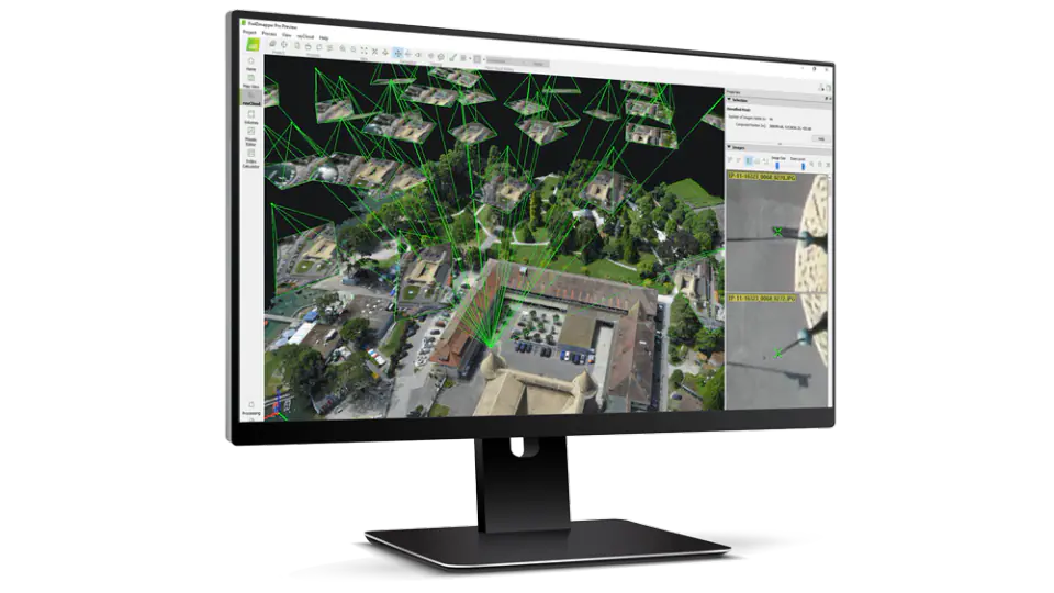
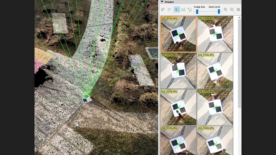
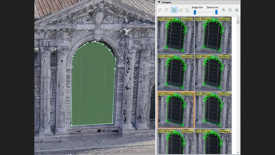
rayCloudtm - The Power of Photogrammetry Software
A unique environment that connects your raw photos to each 3D reconstruction point to visually verify and improve the accuracy of your design.
")
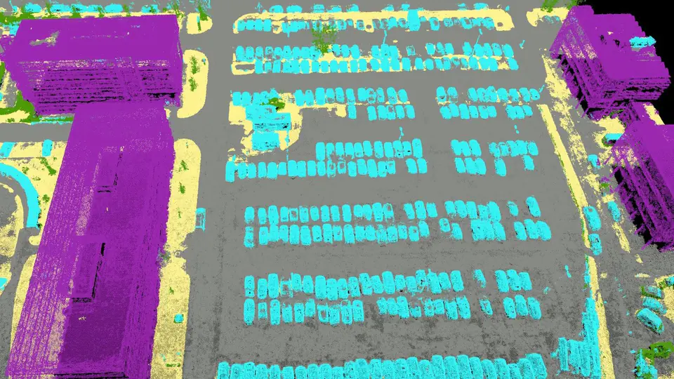
Automatic classification of point clouds
Highlight objects with machine learning-based classification processes.
")
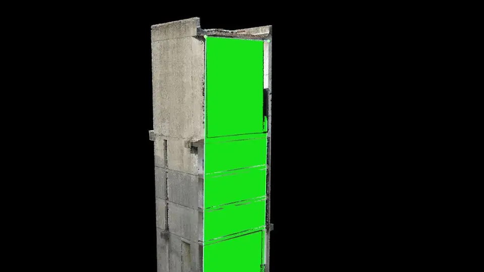
Flattening and smoothing surfaces
Create virtual surfaces to improve the plane or fill cavities in key areas.
")
Easy measurement of area, distance and volume
Measure in 3D with fully adjustable base heights.
")
Control over the granularity of the project
Annotate and edit 2D and 3D GCPs, milestones, and MTP with the highest accuracy while using original 3D images and information.
")
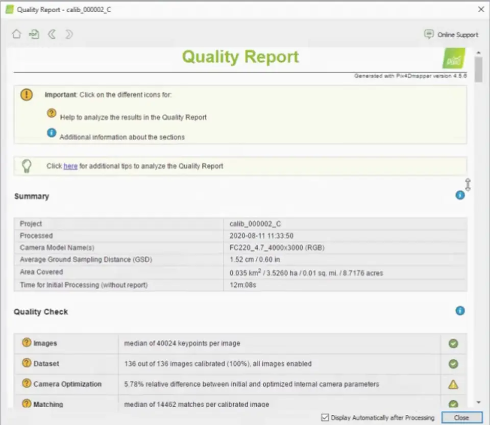
Detailed quality report
Evaluate the accuracy and quality of your projects.
")
Working with photos has never been so easy
Any camera. Any drone. Any image. As long as it is .jpg or .tif.
")
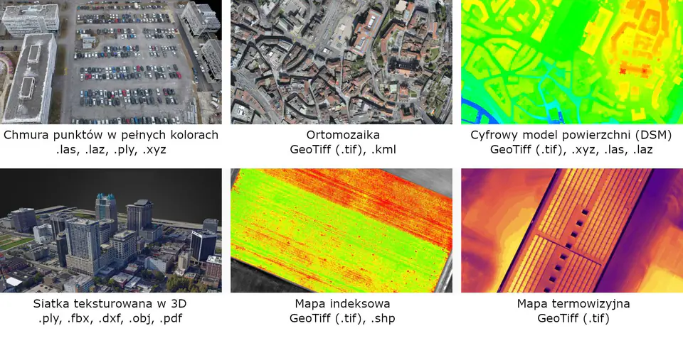
Generate high-resolution output for each project and use case
Easily export digital maps and models to industry-standard formats for further analysis or reporting.
Perpetual floating license (1 device)
It allows you to install the program on any number of computers and run it at any time on as many systems as indicated by the number of licenses purchased.
")