

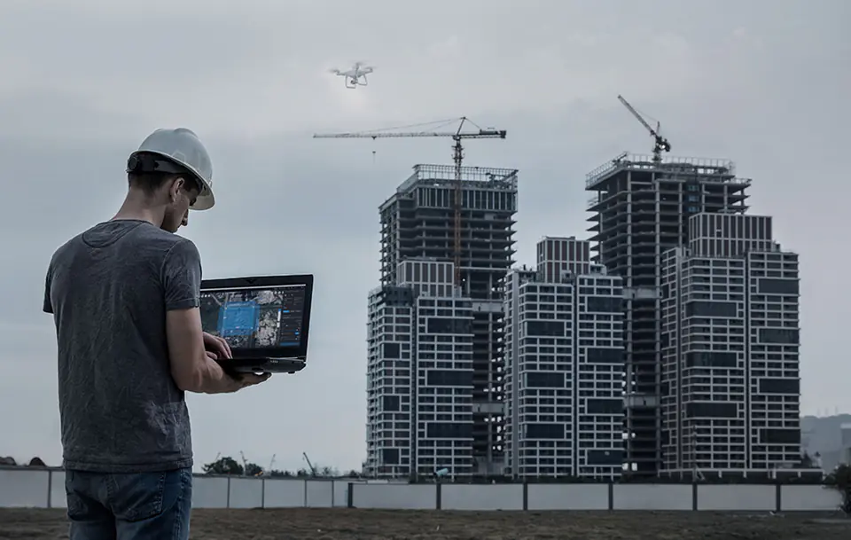


Harness the world's potential to create digital assets
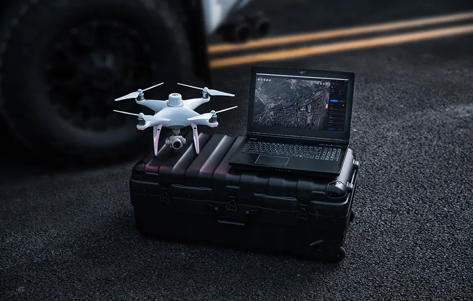
Capture, analyze, and visualize your environment with DJI Terra – an easy-to-use mapping software that was created to help industry professionals turn real-world scenarios into digital assets.
")
| 2 | 3 | noTitle0 |
|---|---|---|
| InfrastrukturaŁatwe przeprowadzanie szczegółowych kontroli złożonych obiektów i struktur | BudownictwoZbieraj, mierz i analizuj dane z najwyższą dokładnością w różnych projektach. |
| 2 | 3 | noTitle0 |
|---|---|---|
| Bezpieczeństwo publiczneMinimalizuj czas potrzebny na zebranie najważniejszych informacji na miejscu zdarzenia. | EnergetykaBezpieczna kontrola pionowych elementów i konstrukcji, ze specjalnymi optymalizacjami dla linii energetycznych |
| 2 | 3 | noTitle0 |
|---|---|---|
| FilmowanieOptymalizacja wizualizacji wstępnej w celu usprawnienia procesów planowania w całym zespole. | RolnictwoSzczegółowa wiedza na temat swojego pola pozwoli uzyskać Tobie większe plony |
Create optimal flight routes
Enjoy predefined landmarks and adjustable parameters such as altitude, speed, gimbal angle, flight course and more. For more complex and challenging missions that require a lot of attention to detail, use 3D flight visualization to design and simulate tasks on existing 3D models.
")
Automate complex missions
With just a few taps of your finger on the screen, you can automate complex missions, allowing you to seamlessly capture photos that can be processed to create a variety of maps and models for further analysis and decision-making assistance.
Plan missions in Oblique mode
When accuracy is essential and details are critical to your most important activities, Oblique allows you to capture an extensive 3D model dataset by adjusting the camera's angle, giving you an exceptionally clear view of the subject.
")
Generate corridor missions
Create automated flight missions around roads and railroads by simply drawing a line on a map. Adjust mission settings to change the total mapped area, giving you the choice between creating high-resolution 2D maps and 3D models or quick previews.
")
Plan detailed inspection missions
Automatically generate landmarks and flight routes based on one or more points selected in an on-premises 3D model or point cloud (or third-party point cloud). A simulated camera view of the selected point is displayed on the screen to allow for better selection of landmarks and more efficient flight route planning, automating the inspection process.
")
The power of mapping
")
Data analysis
With easy-to-use analytical tools that allow you to obtain a variety of measurement data based on linear, surface and volumetric measurements, key dimensions can be achieved in a variety of field conditions.
")
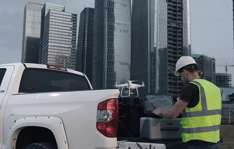
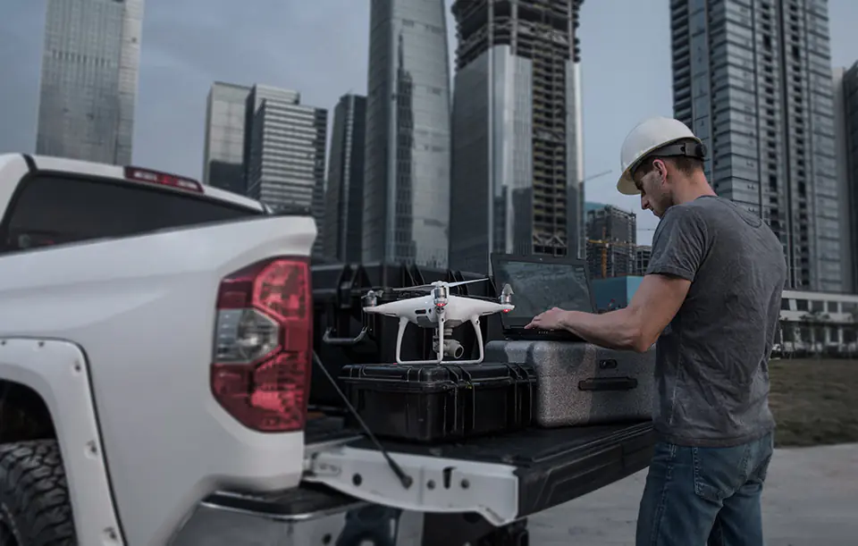
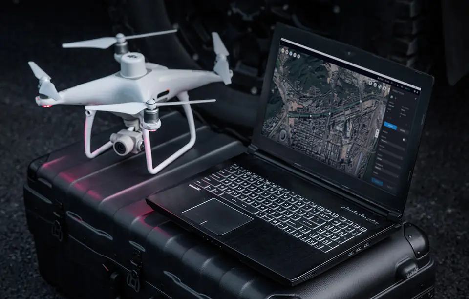
Seamless connection to your DJI drone fleet
Use Terra DJI to plan and execute flights with the following models:
- Phantom 4 RTK
- Phantom 4 Pro V2.0
- Phantom 4 Pro + V2.0
- Phantom 4 Pro
- Phantom 4 Advanced and Phantom 4
Use DJI Terra to process data from:
- Phantom 4 (entire series)
- Zenmuse P1
- Zenmuse L1
- Zenmuse X7
Types of DJI Terra license plans:
Online License
The ability to regularly connect the device to the Internet to verify eligibility and use paid features.
Offline License
The ability to use paid features without having to connect devices to the Internet.
The following features are not available in an offline license:
- Unlocking GEO zones
- Map loading and location search
- Without logging in to your DJI account, some flight control features in the Terra APP will be limited
| Funkcje | Wersja Cluster(Online) | Wersja Agriculture(Online) | Wersja Electricity (Online) | Wersja Pro (Online i Offline) |
|---|---|---|---|---|
| Mapowanie 2D w czasie rzeczywistym | ||||
| Zastosowanie w rolnictwie | ||||
| Rekonstrukcja 2D (pola) | ||||
| Multispektralna rekonstrukcja 2D | ||||
| Rekonstrukcja 2D (budowle) | - | |||
| Importowanie plików KML | - | |||
| Wyjściowy układ współrzędnych | - | |||
| Rekonstrukcja ROI (Return on investment) | - | |||
| Import zdjęć z danymi POS | - | |||
| Rekonstrukcja przy użyciu wielu układów graficznych | - | |||
| Rekonstrukcja 3D | - | |||
| Planowanie misji 3D | - | |||
| Mapowanie 3D w czasie rzeczywistym | - | |||
| Dane GCP (Ground Control Points) | - | |||
| Optymalizacja dokładności chmury punktów LiDAR | - | |||
| Zastosowanie w energetyce | - | - | ||
| Szczegółowe inspekcje | - | - |